About Geopro
Our foundation is rooted in high-end professional imagery for all your needs!
With a love for history and respect for the guardians of those records. Geopro set forth to change the status quo of historical imaging. With a combined experience of over 30 years in imagery and public records, we provide the safety, security, and high-end imaging preservation that the records, you and your constituents deserve. We strive to help our customers to simplify the scanning process
Contact Us

WHAT WE OFFER
We provide immersive imaging solutions!
Geopro Imaging, LLC is a premier provider of document scanning and digitization services. Our expertise and commitment to quality make us an ideal choice for a wide range of private and public organizations.
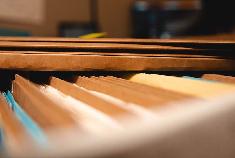
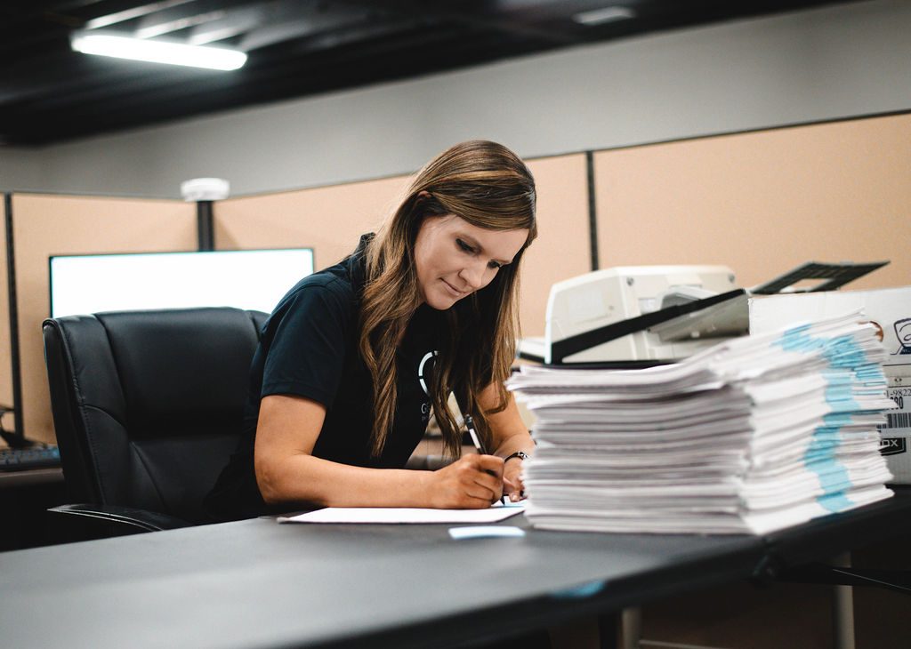
Historic Document Imaging
Scanning historic documents is a critical process for preserving our past. It involves converting fragile, often centuries-old paper records into digital formats.
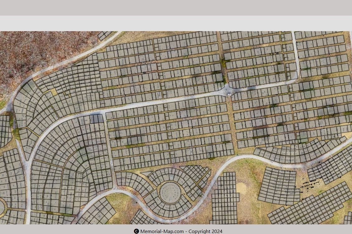
Cemetery Lot Management
Cemetery lot management involves overseeing the allocation, maintenance, and record-keeping of burial plots. This includes tasks such as selling plots, managing perpetual care funds, maintaining accurate records of burials, and ensuring the upkeep of the cemetery grounds.
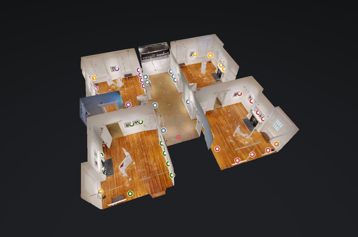
3D Spatial Scanning
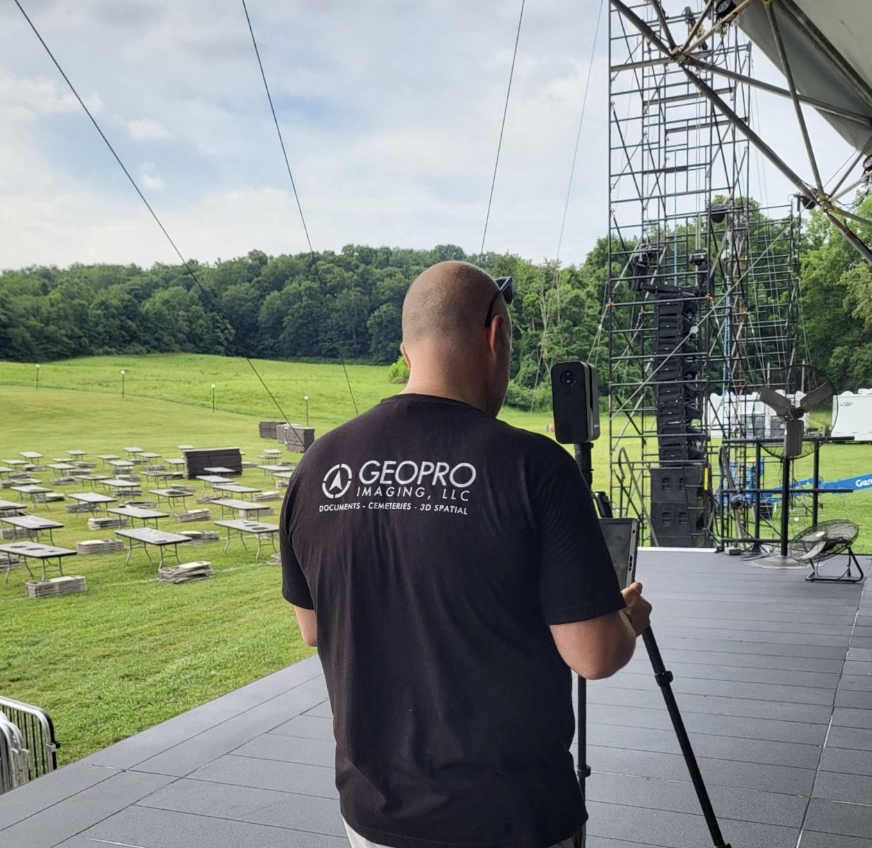
3D spatial scanning is a revolutionary technology that captures real-world environments and objects in stunning three-dimensional detail. By utilizing advanced sensors and software, this process creates highly accurate digital representations that can be used for a multitude of purposes.
Historical Document Imaging
In our increasingly digital age, the importance of preserving and accessing historical documents has never been greater. Scanning old documents is a powerful tool that offers a multitude of benefits, from safeguarding precious documents to streamlining business operations.
Types of Historical Imaging
Documents
We are able to image from business card sizes to letter/legal sizes on our high production scanners
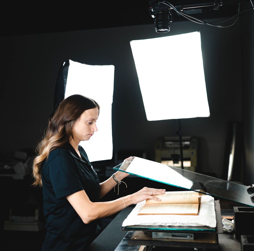
Bound Books
We take the upmost care when imaging historical bound books. Bounds books are crucial for many organizations to protect their history
Mirofiche/Microfilm
We can take microfilm and microfiche and convert it to digital
Large Formats
We work with many engineering groups to scan their large format drawings that include road plans, houses and architectural drawings
Cemetery Lot Management
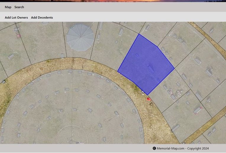
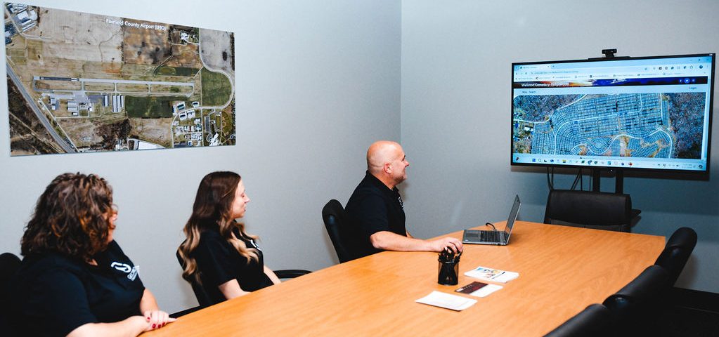
Cemeteries, often seen as static places of remembrance, are evolving with the integration of technology. Our immersive software combined with aerial drone photography, is revolutionizing cemetery management, offering unparalleled efficiency, accuracy, and a unique perspective
Key Features
We are your one stop shop to help you with your cemetery needs. We can capture aerial photography, draw lot lines, create databases and can image any documents needed.
Aerial Drone Imagery
Our drone pilots are fully trained and have the know how to fly your cemetery. We fly lidar drones to provide an interesting take
Software
We work with you and your team to ensure all items are captured and visible
Database
We can convert and create new databases for your needs
Document Imagery
We can start by scanning all of your pertaining documents that need to be preserved
3D Spatial Imagery
3D spatial scanning technology is revolutionizing the way we interact with and manage buildings. This innovative technique involves capturing precise measurements and detailed visual representations of physical spaces, creating digital twins of real-world structures. By leveraging this technology, we can unlock a wealth of benefits for building preservation, management, and future planning.
3D Spatial Imagery Uses
Museums
We work with several museums to capture their exhibits to enable them to reach a larger audience
Facility Management
We enable clients to know the content of their buildings which includes asset identifiers
Tourism
We capture points of interest to enable a seamless integration to local tourism leaders
Virtually Explore the City of LancasterConcerts & Theaters
When clients want to know seating location views to how many trash cans are in use, we capture all of these items!
OUR AWESOME TEAM
Geopro Team
The Geopro team is a group of geospatial & imagery experts dedicated to providing innovative solutions for complex challenges. With a passion for technology and a commitment to excellence, we leverage our expertise to deliver cutting-edge solutions that empower businesses and organizations

Nathan
COO, Business Development
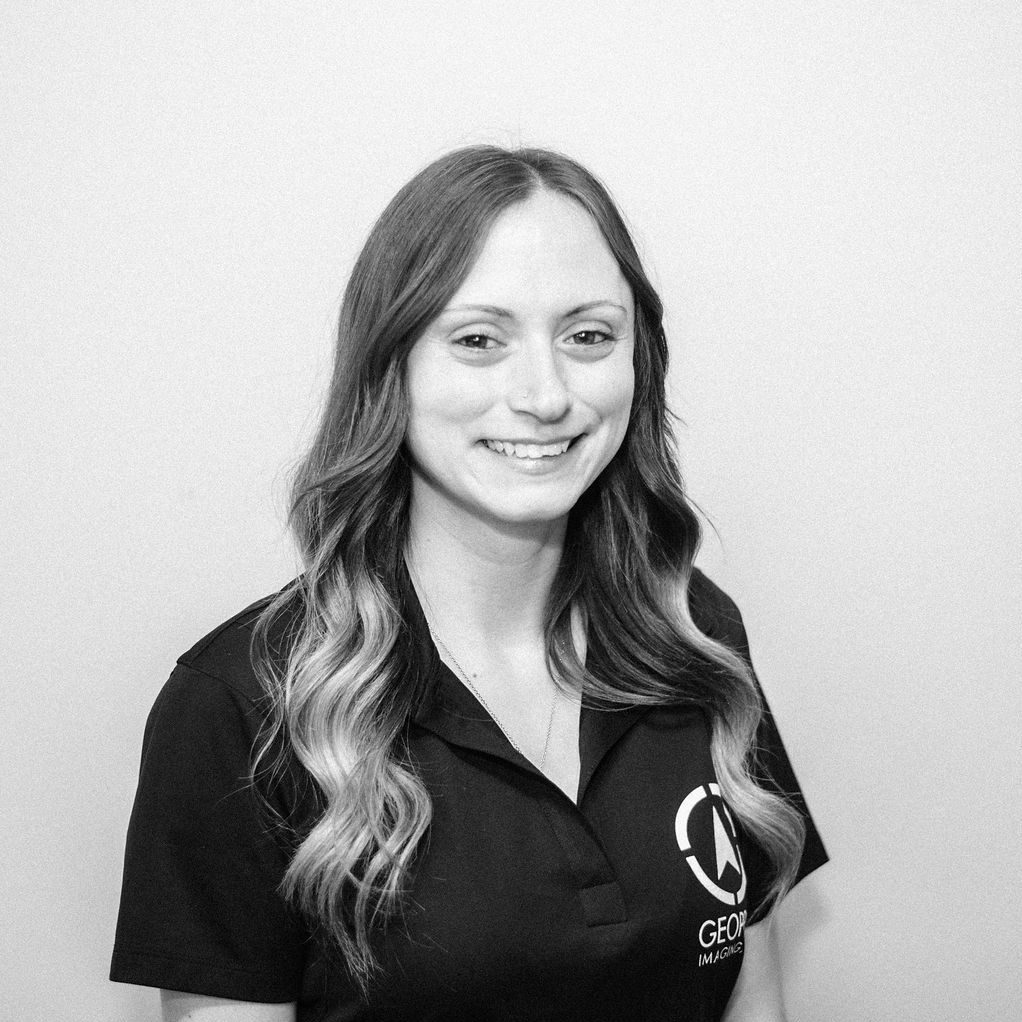
Kara
Operations Manager

Sarah
Compliance Manager
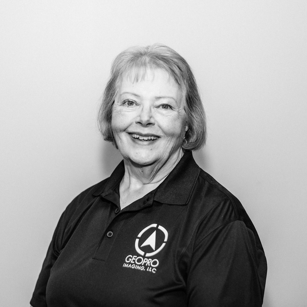
Sharon
Quality Control Specialist
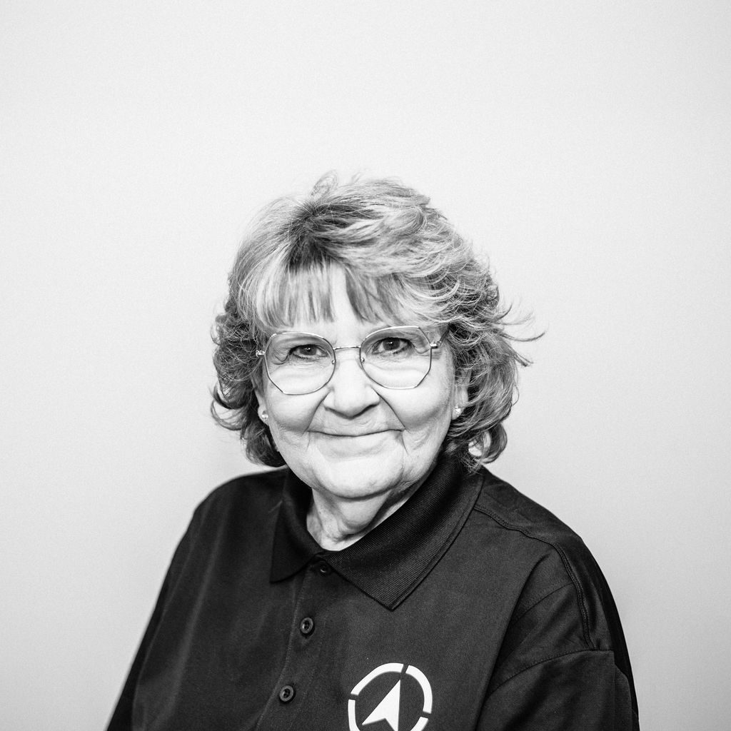
Lesly
Quality Control Specialist
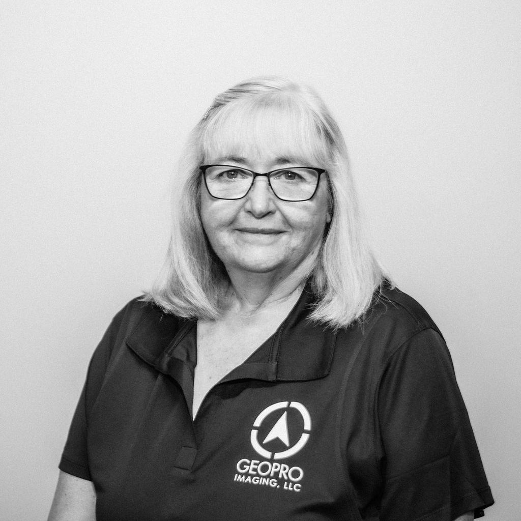
Sharon
Image Specialist

Roger
Image Specialist
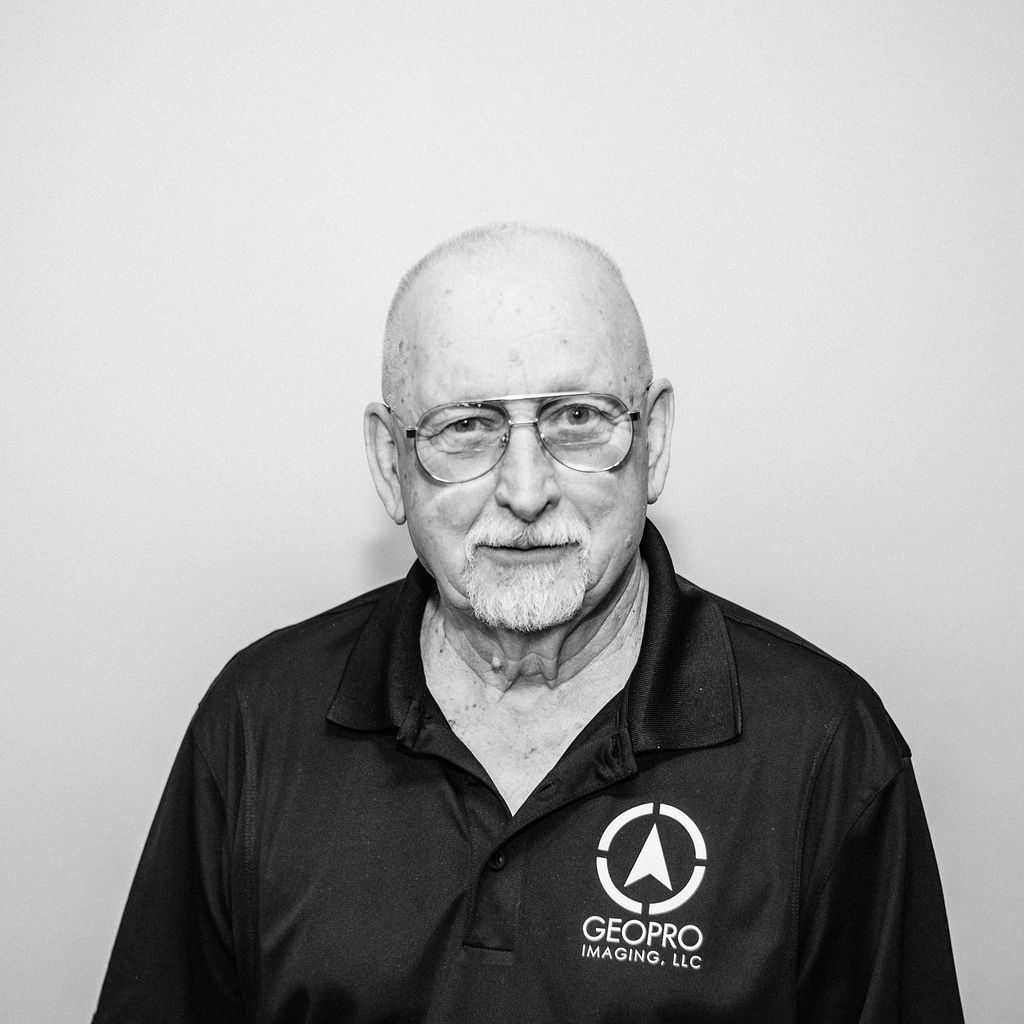
Larry
Image Specialist
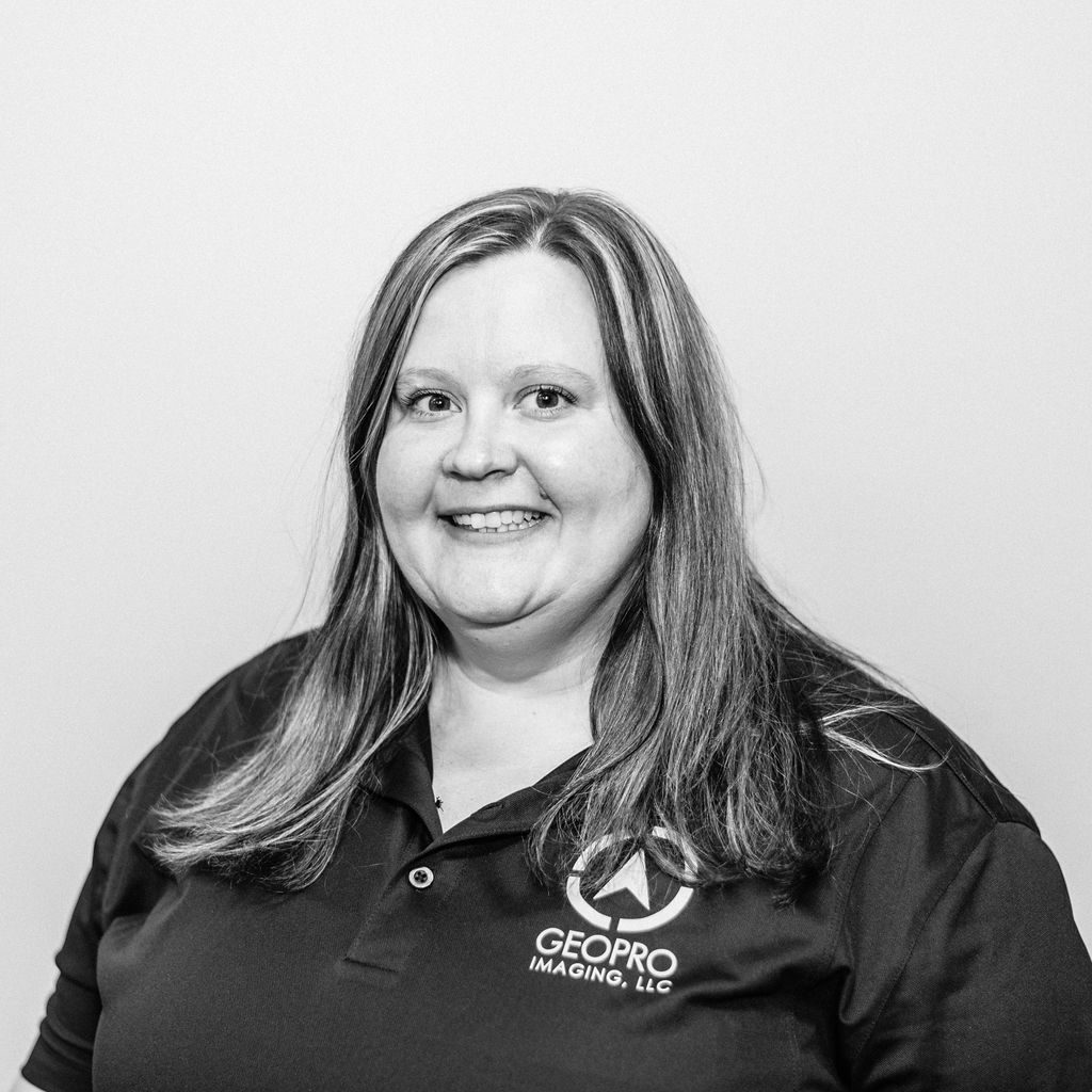
Elizabeth
Image Specialist
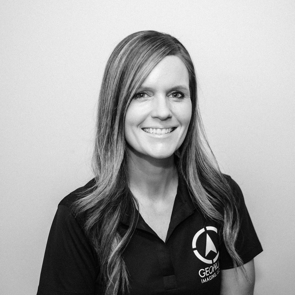
Becky
Image Specialist

Elise
Honorary Office Manager
Contact us
If interested to learn more, we would love to talk!
Get in touch
Address:
439 South Ewing Street, Lancaster, Ohio
Phone:
740-808-8071


